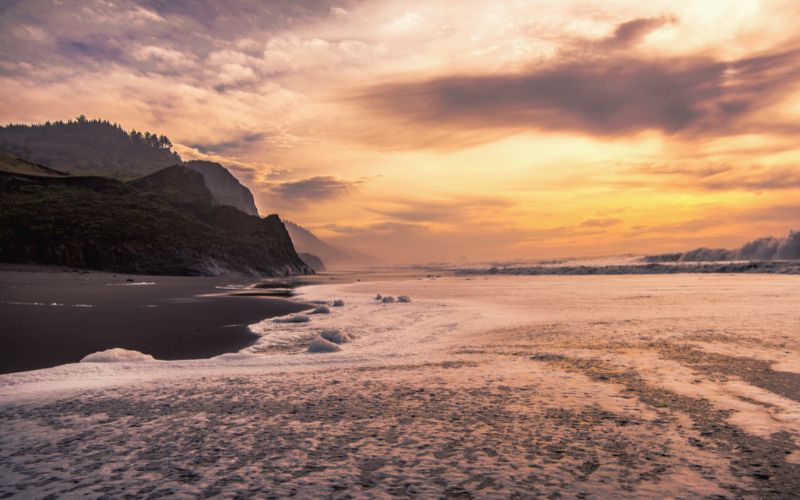
Lost Coast Trail: The Ultimate Guide for Backpackers
Backpacking California’s Lost Coast is a truly bucket list-worthy experience! In this post, we’ll provide all the info you need to start preparing for your own coastal wilderness experience today!
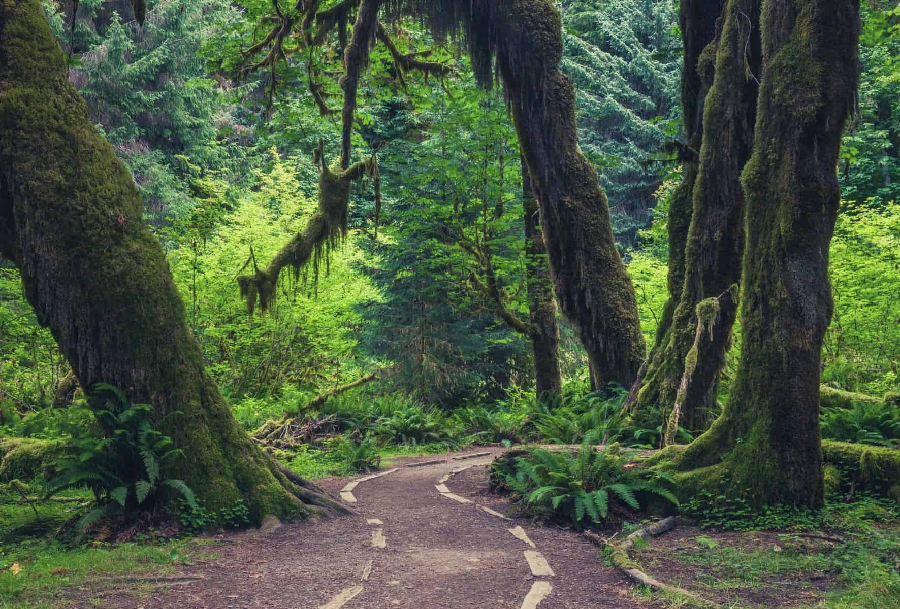
Hoh River Trail Backpacking Guide
Few trails spoil their visitors with quite so diverse and delightful an array of scenery as the trail along the Hoh River in Washington State’s Olympic National Park. We’re going to take you through all you need to know when planning this hike, from pre-trip logistics, route descriptions & gear requirements.
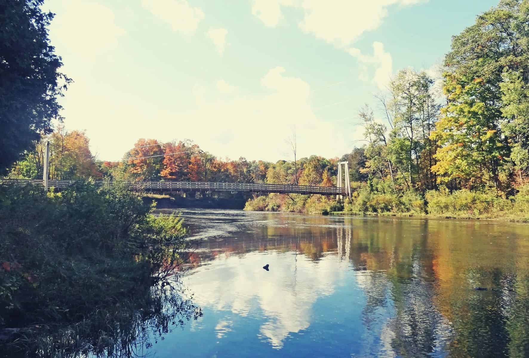
Manistee River Trail Backpacking Guide
The trail loop along Manistee River is among, if not the best backpacking trail in Michigan’s Lower Peninsula. Our guide covers tips for pre-trip planning, parking, campsites, and a thorough, start-to-finish trail description
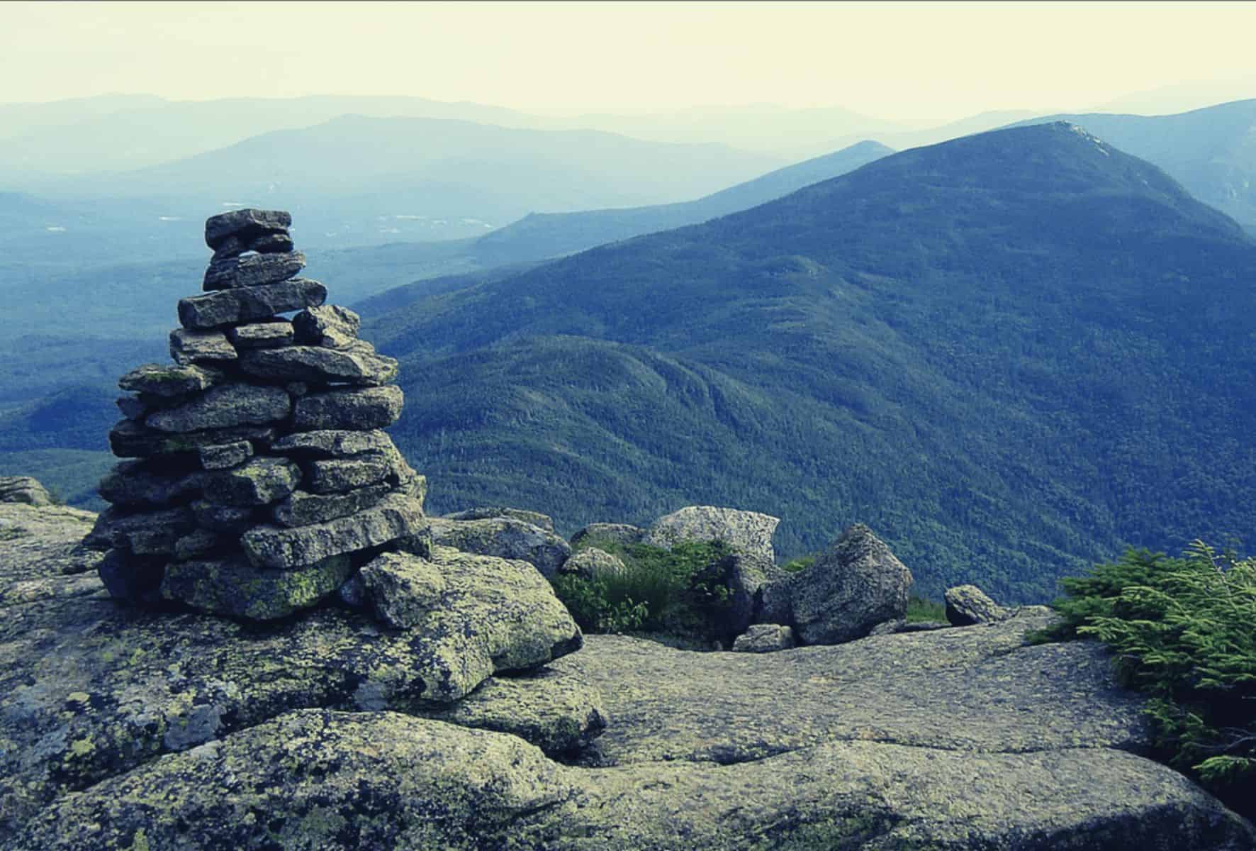
Pemi Loop, New Hampshire – Backpacking Trail Guide
Connecting eight 4,000+ ft. summits throughout the western half of the beautiful Pemigewasset Wilderness, the Pemi Loop is considered one of the most sought-after accomplishments for all hikers in the northeast United States.