The first step to successful navigation with a map and compass in the backcountry is correctly orienting your map.
A map, by definition, is a small-scale representation of the real world or a section thereof. “Orienting” your map means aligning it so that north on the map corresponds to north in the terrain and the map’s topography correlates to the real-world topography in front of you.
Sound complicated? Thankfully, it’s not…whether orienting your map with a compass or without, this is a skill that can be learned in minutes and which can be done in a matter of seconds out in the field. Our short, straight-talking guide on how to orient a map shows you how it’s done.
Orienting a Map: Two Methods
When map reading, there are two ways to orient a map—by eye and with a compass.
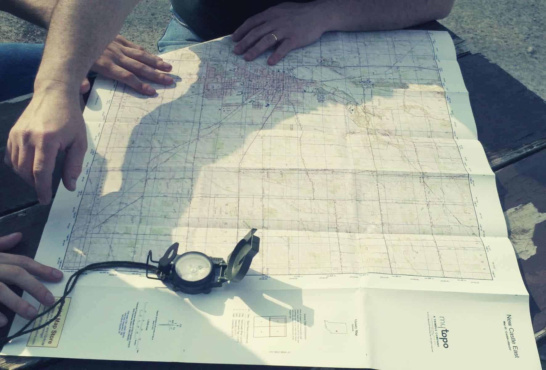
Orient a Map by Eye
This involves trying to orient a map using only topographical features and your own eyesight. Because this method of orienting your map requires having visuals on features or landmarks in the terrain, good visibility is a must.
Here’s how it’s done:
Identify your approximate location on your map. Find two or three easily identifiable features or landmarks on your map and then try to identify them in the terrain, or vice-versa.
Then turn the map until the position of the landmarks on the map corresponds to the real-world features in the terrain, then cross-check your position with additional features to ensure you have oriented correctly.
Done!
How to Use a Compass to Get Your Bearings
Step 1. Adjust for magnetic declination
When orienting a map, our aim is to position it so that the north-south grid lines on the map (eastings) are aligned north-south. To do so accurately, however, we must first adjust our compass for magnetic declination so the reading taken from the compass arrow is pointing our map toward true north as opposed to magnetic north.
NB. This step comes after aligning our map and compass needle to magnetic north if using a compass that doesn’t have a declination adjustment key.
Step 2. Align North on your Compass with North on the Map
Lay your map out in front of you on a relatively flat and smooth (and dry!) surface.
North is always at the top of any map. It’s not unheard of for hikers to accidentally read their map upside down and end up facing south, rather than north. Double-check by making sure the map title or legend text is the correct way up, or find the maps north arrow.
Place your compass base plate on your map so the edge of the compass is aligned with the north-south meridian lines. You should notice that the direction of travel arrow should be pointing at the top of the map, and the black orienteering lines should also be parallel to the north-south gridlines on the map.
Now, rotate the map and compass baseplate together until the compass needle is “boxed” in the red-orienting arrow (or direction-of-travel lines) on the compass. This is commonly known as putting “the red in the shed”.
If you have already adjusted your compass for magnetic declination, your map is now oriented and you’re good to go.
If your compass doesn’t have a declination adjustment key, simply make the adjustment on the spot. This can be done either by (1) rotating the map the requisite number of degrees east or west or (2) holding the baseplate firmly, rotate the compass housing to the correct number of degrees west or east to account for the declination.
Finally, before setting off, be sure to do a quick check by looking around you to see that all features represented on your map are where they should be in the terrain.
Doing this quick visual “sense check” by examining the surrounding terrain is to triple-check that your readings aren’t out by 180 degrees and to make sure the map is always aligned with your compass’s north-pointing (and usually red) magnetic arrow i.e. that it is pointing towards the top of the map. Conversely, the black end of the compass needle should be pointing south.
