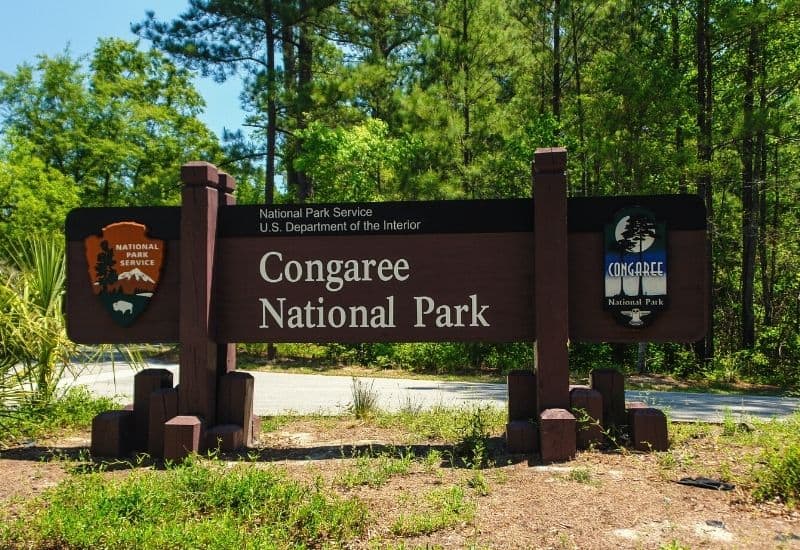
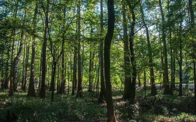
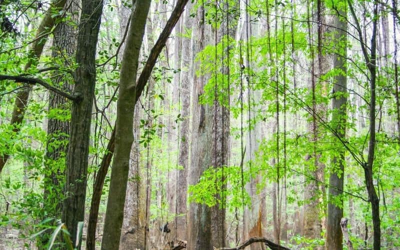
Before the advent of industrial logging in the state, South Carolina was home to around a million acres of old-growth forest. Today, a mere 12,000 acres of that million remain, and 11,000 of them are preserved in the stunning, one-of-a-kind Congaree National Park.
Congaree is one of the tallest temperate forests in the world and has been recognized as an Important Bird Area, a Ramsar Wetlands of International Importance, and an International Biosphere Reserve.
It isn’t one of the US’s better-known national parks, of course. In this post, however, we aim to convince you that it’s one every lover of unique flora and fauna and great hiking trails should consider adding to their bucket list.
Visiting Congaree NP is a treat for hikers of all fitness and experience levels. In this guide, we’ll introduce you to the top 9 Congaree National Park hiking trails.
RELATED READING: Check out our guide for great camping in South Carolina.
The Top 9 Trails in Congaree National Park
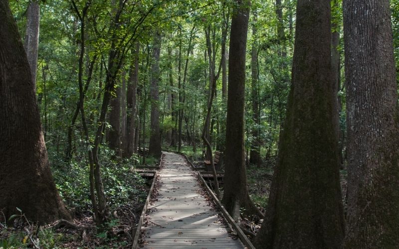
#1 Boardwalk Trail Loop
- Type: Loop
- Distance: 2.3 miles
- Difficulty: Easy
This mellow loop provides the perfect intro to Congaree NP, serving up a short-and-sweet taster of all the park’s unique flavors as you stroll around the Congaree Swamp on a flat, wheelchair- and stroller-accessible boardwalk.
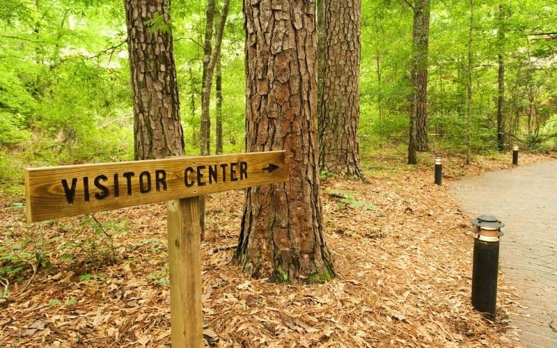
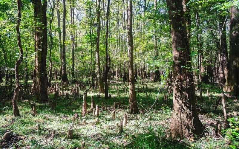
The trailhead is located next to the Harry Hampton Visitor Center, from where you shortly arrive into a dense forest populated by a variety of swamp tree species like tupelo trees, bald cypress, and loblolly pines.
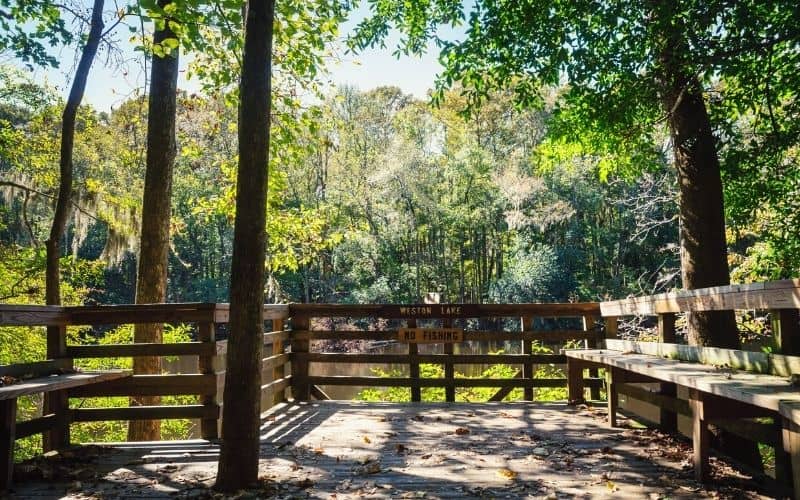
At around the halfway point, you’ll also pass the charming Weston Lake, where you’ll have the opportunity to extend your hike by hopping onto the Weston Lake Loop.
#2 Bluff Trail

- Type: Lollipop
- Distance: 1.8 miles
- Difficulty: Easy
Beginning at the Harry Hampton Visitor Center, this loop starts on solid land before then moving onto sections of the elevated Boardwalk Loop.
From there, the track heads north over sections of swamp and through an old-growth pine forest bedecked with an interesting array of wild flora and fauna. Some of the most interesting species you might spot include eastern wood-pewees, yellow-throated vireos, fox squirrels, Kentucky warblers, red-headed woodpeckers, and box turtles.
This route is virtually flat from start to finish and should take no more than 45 minutes to complete. It also serves as access to the Longleaf Campground and Bluff Campground, the two main frontcountry campgrounds. (For backcountry camping, permits are required).
#3 Sims Trail
- Type: Out-and-back
- Distance: 3.2 miles
- Difficulty: Easy
This trail’s moderate length, mellowness, and beautiful wildflowers make it another of the most popular Congaree National Park hiking trails.
It’s also one of the best family-friendly trails for spotting wildlife. Some of the critters you might spot along the way include salamanders, woodpeckers, kites, vultures, red-shouldered hawks, dragonflies, frogs, and various types of butterflies
The hike is almost entirely on an old hunter’s road that was converted into a hiking route by the national park service at the time of the park’s formation.
This hike begins just a few hundred yards from the visitor center and ends at Cedar Creek. You can, however, extend your walk by connecting with the Weston Lake Loop or the River Trail.
#4 Weston Lake Loop Trail
- Type: Loop
- Distance: 4.4 miles
- Difficulty: Easy/Moderate
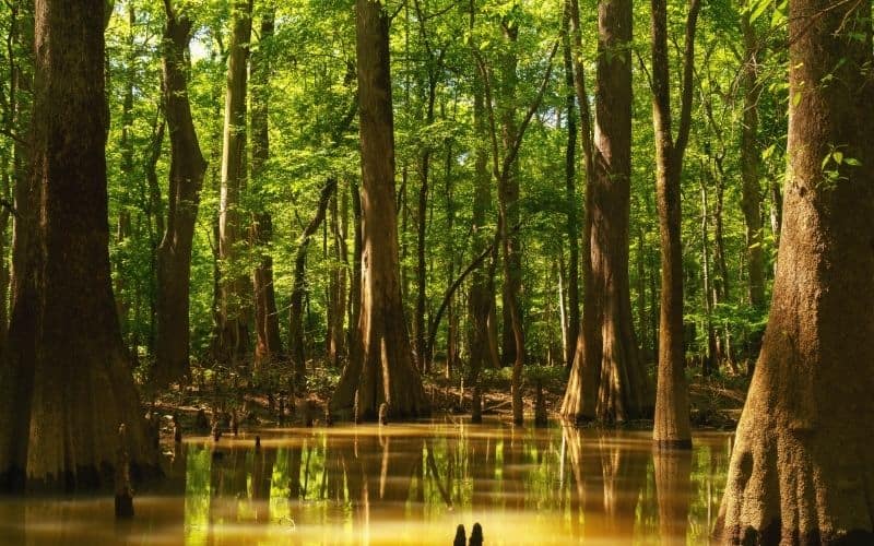
This enjoyable 4.4-mile loop allows you to take in two of the park’s most impressive and popular water features – Weston Lake itself and Cedar Creek, where you’ll have a good chance of spotting one of nature’s cutest mammals, the river otter.
The loop begins at the visitor center, from where you hike the Low Boardwalk to its southwestern corner. Here, the trail continues south in the direction of Wise Lake before circling round to the tip of the Elevated Boardwalk.
The further you stray from the boardwalks, the more this remote-feeling portion of the park’s wildlife begins to appear. Depending on the time of year, you might spot warblers, deer, raccoons, wild hogs, woodpeckers, wood ducks, and even the odd beaver.
#5 Oakridge Trail
- Type: Point-to-point
- Distance: 7 miles
- Difficulty: Difficult
The Oakridge Trail is not among the most popular hikes in the park, which means it can get slightly more overgrown. Less popularity, however, also means more privacy, and more peace to enjoy the route’s stunning sights.
The main appeal of this hike is the chance to walk through one of the tallest hardwood forests in the world, enjoying sightings of ancient loblolly pines, water tupelo, cherrybark oak, sweetgum, hickory, bald cypress, barred owls, pileated woodpeckers, otters, deer, and maybe the occasional alligator as you go.
The path begins on the River Trail, right behind the Harry Hampton Visitor Center, and ends on the Kingsnake Trail. While the trail itself is only 3 miles long, having to use the Kingsnake and River trails to form a loop to the visitor center means the total distance you’ll cover is 7 miles, which should take in the region of 3 hours for a moderately fit hiker.
#6 Kingsnake Trail
- Type: Point-to-point
- Distance: 11.7 miles
- Difficulty: Moderate/Difficult
The Kingsnake is the longest on our list and takes you through the most remote portions of the park. Consequently, it’s also the best option for visitors who are especially keen to see some of the area’s diverse flora and fauna, or those looking to enjoy a more satisfying workout.
The Kingsnake follows a logging route from the 1970s. You’ll be pleased to know, though, that many of the oldest and largest trees evaded the saws of the loggers and remain standing to this day. The most impressive of the bunch include a huge cherrybark oak near Tear Pond, a towering persimmon, and a water oak measuring nearly 20 feet in circumference.
To reach the trailhead, take the National Park Road to Old Bluff Road, turn right onto South Cedar Creek Road, then follow this for just under 2 miles until you arrive at the South Cedar Creek Canoe Launch, where your hike begins.
The Kingsnake is best hiked in fall, winter, and early spring because, in periods of heavy rainfall (usually May to September), any of the four bridges en route can become impassable and underfoot conditions far from ideal for hiking.
#7 River Trail
- Type: Lollipop
- Distance: 10.1 miles
- Difficulty: Moderate/Difficult
This 10.1-mile route provides visitors the chance to explore the western side of the NP and the banks of the Congaree River.
The route begins at Cedar Creek on the Weston Lake Loop and winds through dense bottomland hardwood forest. A few miles in, you’ll find the park’s largest hardwood tree – a stately cherrybark oak that measures over 20 feet in circumference and stands no less than 125 feet tall!
Other highlights include hiking in the reputedly haunted Boggy Gut, the beautiful forested wetland around Duck Pond, and a long sandbar where you might find, amongst other things, freshwater mussels, turkey vultures, bald eagles, osprey, and even the odd scrap of Native American pottery.
#8 Bates Ferry Trail
- Type: Out-and-back
- Distance: 2.2 miles
- Difficulty: Easy
The Bates Ferry Trail is an easy, family-friendly route that follows the ferry road from the 1920s to reach the Congaree River, allowing you to experience a small part of the area’s rich colonial history.
Along the way, you’ll also have the chance to see plenty of wildlife. While walking, keep an eye out for deer and wild hogs in the foliage on either side of the path. And when you get to the trail’s end at a rocky bluff overlooking the river, kick back and spend some time looking out for the river otter, bald eagles, and/or ospreys.
Start the walk from Route 601 on the east side of the park and be careful when you reach the path along the river. The bank of the river is often steep, slippery, and somewhat prone to collapse. Stay on the marked path, and you’ll be fine.
#9 Fork Swamp Trail
- Type: Out-and-back
- Distance: 0.6 miles
- Difficulty: Easy
This mellow hike packs an awful lot of attractions into its 0.6-mile length and is an easy add-on if you’re doing the Bates Ferry route.
The walk runs along the narrowest section of Bates Old River near an oxbow lake created when a hurricane hit the area in 1852, and it’s one of the best places for spotting river otters in the fall. bald eagles and ospreys are also frequent fliers in this particular part of the floodplain.
Finding your way to the Fork requires a little more effort than the other hikes on our list. To get to the trailhead, drive east on SC 48 as far as US 601, then make a right turn and head south. The access road to the parking area and trailhead is located on the right, just over a mile past the sign for Bate’s Ferry.
Congaree, here we come!
Very few national parks are quite so unique in their offerings as Congaree NP. We hope the above guide has convinced you that it’s right up there with its better-known cousins in the pantheon of United States’ national parks and well worth a visit!
What did you think about our list of the top Congaree National Park trails? If you have any questions, please drop us a line in the comments box below. And if you’d like to share this post with your friends, share away!
