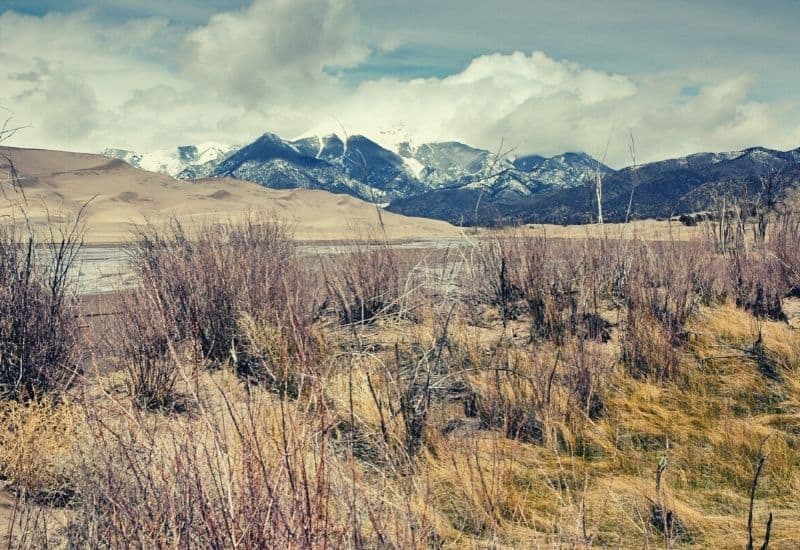
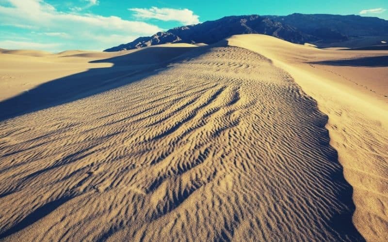
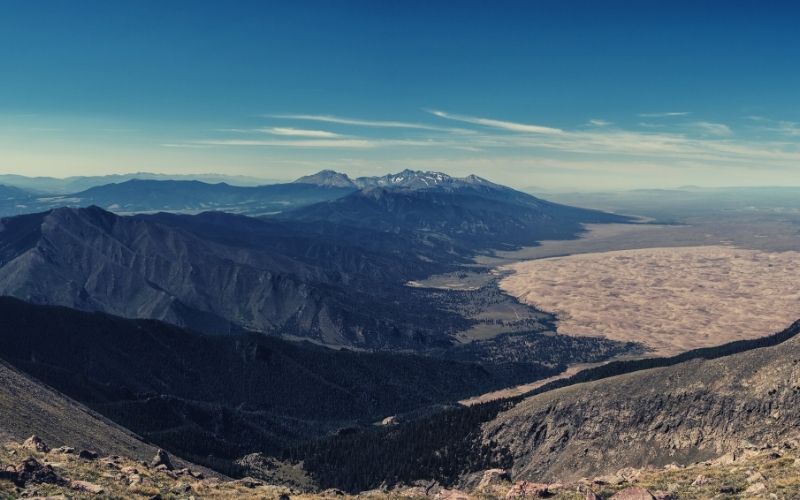
The dune field in Great Sand Dunes National Park and Preserve is thought to have begun forming 440,000 years ago, and each year, the winds through the mountain pass only make them higher. The highest sand dune reaches a towering 750 feet tall. The region was first made a National Monument and reached National Park status within a few short years.
If you need a unique getaway in the Lower Midwest or are looking for a fun place to go dune diving, this is the place to be. In this guide, we feature the top hikes in the area for hikers of all levels, from short strolls to all-day adventures.
Great Sand Dunes National Park and Preserve’s Top Trails
1. Medano Creek Trail
- Type: Point-to-point
- Distance: N/A
- Difficulty: Easy
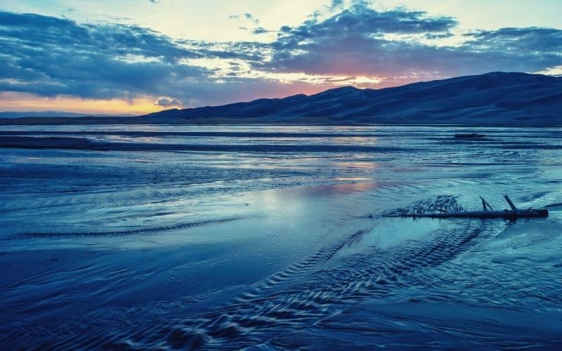
Although the Medano Creek Trail might be the first on our list, it is not an actual path you’ll find on the National Park Service recommended list. The reason for this—no joke—is that it isn’t always there.
The creekbed surges with snowmelt in the spring and slowly dies down throughout the summer until it disappears entirely in the heat of late summer and fall. During the earlier months of the year, however, you can easily walk throughout the park alongside the creek bed.
The primary allure of this hike is called the “surge flow”, a phenomenon that occurs when underwater sand bridges build up and then break at roughly twenty-minute intervals, sending a wave that’s ideal for skimboarding or belly-surfing down the creek.
2. The Tallest Dunes – High Dune and Star Dune
- Type: Loop
- Distance: 8 miles
- Difficulty: Strenuous
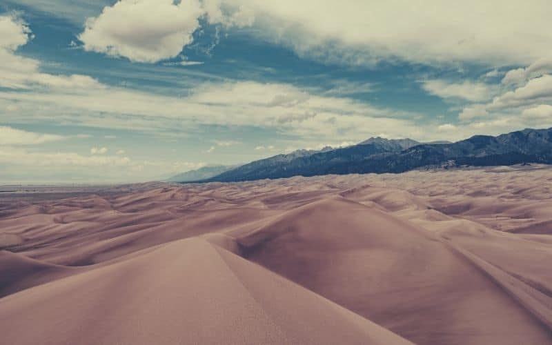
This hike is a heavily trafficked path and also among the longer trails in the park. It focuses on the most interesting geological feature of the park and the two highest dunes in North America. Interestingly, Star Dune is the tallest dune even though High Dune received the honors in its name.
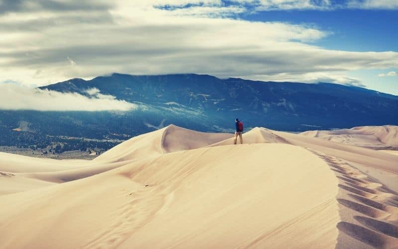
Luckily, this hike is accessible year-round, but no matter when you do it, it is easier with trekking poles and a pair of gaiters to keep the sand out of your shoes. It is challenging either way due to the lack of traction, and you’ll also gain 1,309 feet in elevation along the trail from the base of the dunes to the summit.
This trail is a loop, incorporating both High Dune and Star Dune. However, you do have the choice to limit the hike to High Dune and make it an out-and-back-type trail for a total of only 3 miles instead of 8. Note that the trail isn’t clearly marked for the most part because it is always changing.
3. Sand Dunes Loop
- Type: Loop
- Distance: 4.9 miles
- Difficulty: Moderate to Strenuous
The Sand Dunes Loop takes you on a slightly easier trail than that to the top of the two highest dunes. The trailhead is close to the Piñon Flats Campground. From there, you get to mostly blaze your own trail, keeping your eye out for those markers that are few and far between.
Despite the minimal elevation gain (under 100 ft.), this trail serves up a little bit of everything the park has to offer. This includes pretty groves of aspen, cottonwood, and pinon pine, arid desert dotted with prickly pear cactus and yucca, awesome mountain views, and, of course, a shedload of dunes.
4. Eastern Dune Ridge
- Type: Point-to-point
- Distance: N/A
- Difficulty: Moderate
The Eastern Dune Ridge isn’t as much of a trail as a region you are free to explore. There isn’t a formal trail marked on any app or map, although you might be able to find recorded trails on hiking apps from previous hikers if you so desire.
The problem with any previous trails and the reason there isn’t one specifically marked here, however, is the slow but ever-changing nature of the dunes. If you find trails on apps, they are often quite inaccurate for the current dune field.
To get to this area, you can use a high-clearance 4WD vehicle and drive to the Sand Pit or the Castle Creek Picnic Areas. If you have a 2WD vehicle, drive to and park at the Point of No Return. Follow this up by hiking ¾ of a mile to Sand Pit or driving 1.5 miles to Castle Creek.
This area gives you access points to Medana Creek. Because you can easily wander around in the region for an entire day, come prepared by bringing plenty of water and sun protection with you.
5. Montville Nature Trail
- Type: Loop
- Distance: 0.5 miles
- Difficulty: Easy
Montville Nature Trail is an easier option that takes place on, you’ll maybe be glad to hear, entirely solid terrain. This is a forested trail that takes you along the river for about half of the loop and through a small, old settlement during the next half.
The settlement is what gives this trail its name. Montville was once a tiny town in the late 1800s. At its peak, there were 20 houses collected together. Now, it is a site of historical interest and a preserve for wildlife. At the highpoint of the trail, you also get an excellent view of Mount Herard, one of the higher peaks in the Sangre de Cristo Mountains.
The nature preserve does not have the same restrictions and rules as the National Park part of the area. Hunting is allowed here during the legal season, so be sure to take note of when the legal season takes place or check with the rangers for additional information on how to stay safe during these times of the year.
6. Mosca Pass Trail
- Type: Out-and-back
- Distance: 7 miles
- Difficulty: Moderate
Mosca Pass trail walks you alongside a creek to get to the summit of a low pass between the Sangre de Cristo Mountains. It takes between 2 and 3 hours to reach the pass and another 2 hours to return to the trailhead if you turn around from there.
The trailhead is situated at the park entrance in the Visitor Center parking lot.
The walk is primarily through the gorgeous aspen and evergreen forest at the base of the mountains, though walking this trail alone is a kind of feature in itself, irrespective of the scenery and surroundings.
American Indians and early settlers used this very route to get into the San Luis Valley, around which the Rio Grande River flows, so by taking this one on you’ll be walking in the footsteps of the region’s earliest ancestors.
7. Dunes Overlook/Sand Ramp Trail
- Type: Point-to-point
- Distance: 11 miles
- Difficulty: Moderate
Often used by backpackers to access sites in the surrounding foothills, this is one of the longest officially marked trails in the park and ideal for the more adventurous visitor. While the length and terrain make it moderately strenuous, the trail is relatively flat throughout.
The trailhead can be found at Loop 2 at the campground or, alternatively, you can also start at the Point of No Return dunes parking area. After two miles, the trail becomes pure sand and can become grueling going up and down alongside the foothills, but it runs alongside the Medano Pass Road, which provides a hand bailout option if you’re struggling in the sand!
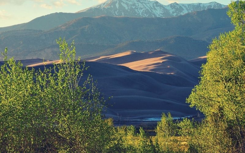
Some of the highlights you can look forward to on this trail are the oasis-like creek running parallel to the dune, the startling contrast between the dunes and the vibrant green surroundings, and, in Spring, wildflowers galore!
8. Medano Lake/Mt Herard
- Type: Out-and-back
- Distance: 10.4 miles
- Difficulty: Strenuous
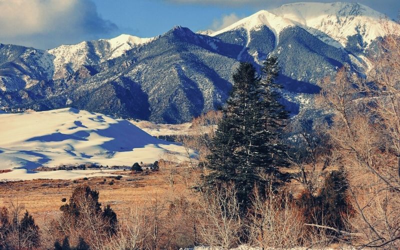
Just like most of the National Park and Preserves in Colorado, Great Sand Dunes offers the option to experience mountains if you choose. Hike away from the sand and pass through the Medano Pass to get to the trailhead. You will need a 4WD vehicle to get there, driving along Medano Pass primitive road.
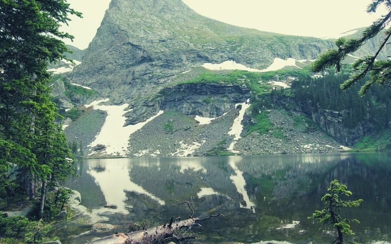
The hike up to and around Medano Lake and up to Mount Herard’s summit gives you incredible views of the surrounding mountains, but on the way up you’ll put in a total of 3,700 feet of ascent, meaning all those views will be hard-earned!
9. Music Pass/Sand Creek Lakes
- Type: Out-and-back
- Distance: 2 – 7 miles
- Difficulty: Moderate
The Music Pass and Sand Creek Lakes trail are popular with hikers and mountain bikers alike. Music Pass starts right at the treeline and offers great, extensive views of the Upper Sand Creek Basin throughout.
This hike is not within Great Sand Dunes National Park, but in the preserve. To get to the trailhead, you have a couple of options, depending on what you drive. These include:
- 2WD vehicles need to park at the Rainbow Trail parking lot where is crosses Music Pass Road (3.5 miles one-way)
- 4WD vehicles can drive 2.5 miles up the road (1 mile one-way)
Once you arrive, you will notice that the area is relatively unrestricted, giving you the option to hike for as long as you please, even once you reach the alpine lakes. Beyond them, there are several 13-ers you can summit above the basin if you’re up for an extended, all-day challenge.
Great Sand Dunes National Park: Great by Name, Great by Nature!
Feeling inspired to get out and enjoy a sandy adventure in the middle of America without an ocean in sight? We hope so! While the Rocky Mountains are apt to steal the greatest share of the thunder in CO, we hope we have shown that Great Sand Dunes National Park hiking is no poor man’s substitute.
So, how did you like our trip guide to Great Sand Dunes NP? If you enjoyed it or have any questions, feel free to leave a comment in the box below. And if you’d like to share this post with your friends, share away!

